Fourth Day
May 10. 2006
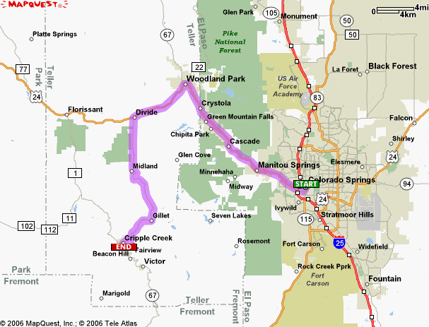
The morning started late around 10:30, 11:00 a.m. We missed breakfast so we started with a major lunch. The weather was much nicer than yesterday. Finally it was sunny and warm. In the afternoon we visited the Gold mine at Cripple creek.
|
"The Cripple Creek Mining District is located within a Tertiary age alkaline volcanic complex dated at approximately 33.4 Ma (Jensen, 2003). Surrounding country rocks are Precambrian granites and metamorphic units. The extensional Rio Grande system is most obvious in the Cripple Creek area along northwest striking horst and graben structures, such as the Four Mile and Oil Creek faults (Wobus, 1976). Subtle northeast regional trends also exist and may be related to a preexisting fabric that was developed during the Proterozoic. Work completed by Klipfel (1992) documents evidence for a possible Precambrian rift environment in northern Colorado along a general northeast trend. This rift environment may have extended south into the Cripple Creek area and may have been the mechanism for creating the subtle northeast fabric.
|
.jpg)
.jpg)
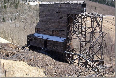
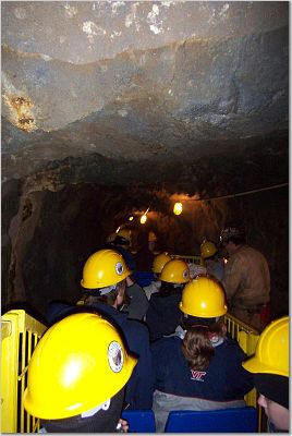
Probably the most exciting part of the mine tour was the lift.
It was two
levels, and about 8 people had to fit into this tiny chamber. We first
went down 1000 feet.
.jpg)
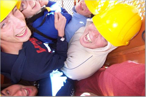
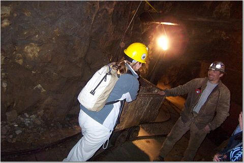
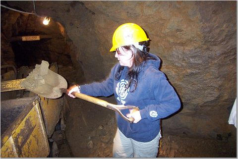
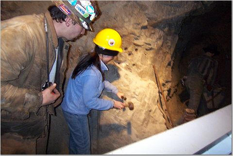
Our guide showed us the gold ore, and the old and new mining methods. Some of us actually could try their hands at the workings.
.jpg)
.jpg)
In the mine we also saw some very beautiful secondary minerals. They were formed by the weathering of the primary sulphides by the oxidising ground waters. Most of the time these formed within the mine-tips.
.jpg)
.jpg)
.jpg)
A lot of these minerals formed stalactites and stalagmites.
After walking around the workings, we had to take a train back to the lift to go up to the surface.
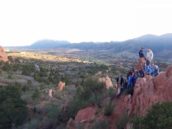
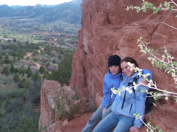
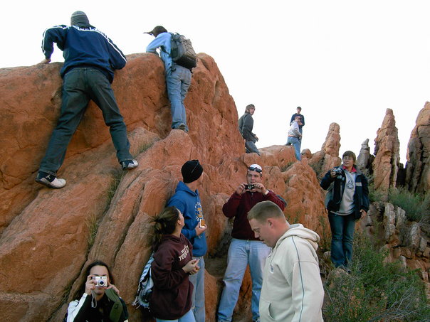
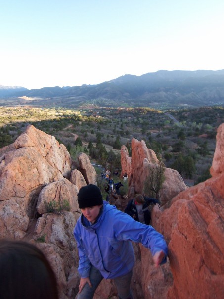
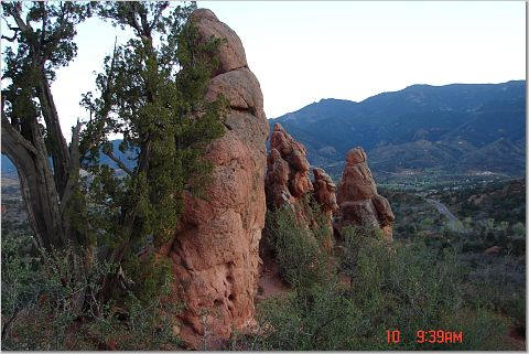
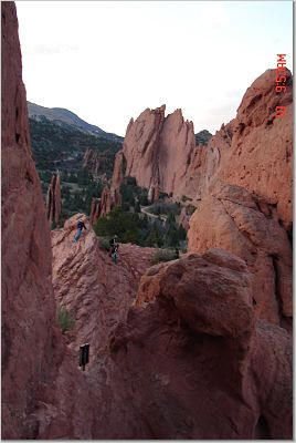
After Cripple Creek, we started back to Colorado Springs and stopped at the Garden of Gods.
"The white, salmon and maroon towers and spires characteristic of the east side of Garden of the Gods are erosional remnants carved for the most part from strong, vertically-dipping Early Permian Lyon Sandstone. here a coastal dune sand deposit durably cemented with silica and hematite derived from ferromagnesian minerals in the igneous and metamorphic rocks exposed by the Ancestral Rockies. Elsewhere along the eastern margin of the Front Range, the neighboring and slightly older Permian-Pennsylvanian Fountain Formation is responsible for many spectacular flatirons. The Fountain here is only weakly cemented and can muster only smaller edifices. These Lyons and Fountain strata lie at the southern tip of the largely Precambrian Rampart Range, an eastern splinter off the Front Range uplift. They've been preserved in part in a graben down-dropped between two major Laramide faults, the Rampart on the east and the Ute Pass on the west. The Rampart Fault splits the park. To its east are vertical Lyons strata and the spectacular spires and fins they create; to its west are gently-dipping strata and lower landforms like Balanced Rock in the final frame" http://www.cliffshade.com/colorado/garden_gods/#garden.


![]()
![]()