Sixth Day
May 12. 2006
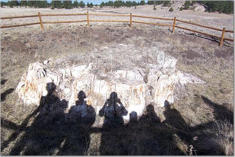
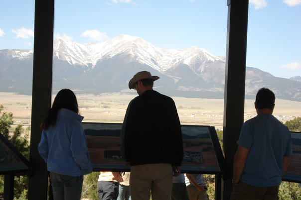
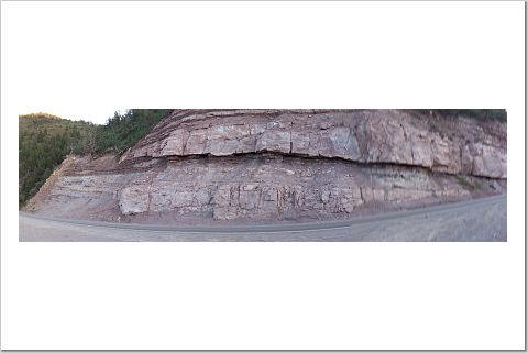
We had to get up early because we had long ways to go all the way to Utah. First we stopped at the Florissant fossil beds.

Fossils of Ancient Lake Florissant
"The rich deposits discovered at Florissant Fossil Beds give us an
unusually detailed look at life in an ancient North America. These
impressions of prehistoric plants and animals are relatively young in
geologic terms. The Florissant fossils hint at what life may have been
like about 35 million years ago during the close of the Eocene Epoch;
approximately 30 million years after the age of dinosaurs and at least
33 million years before humans appeared. Today most of Florissant's
fossils are exhibited and studied at various museums and universities. A
small number are displayed in the park visitor center. Others,
unfortunately, have been taken as private souvenirs over the years; what
valuable information they might have provided cannot be known, for each
fossil is an irreplaceable piece in the puzzle of the past. Fortunately
millions of other fossils in yet undisturbed portions of the fossil beds
are now protected by the park."
http://www2.nature.nps.gov/geology/parks/flfo/index.cfm


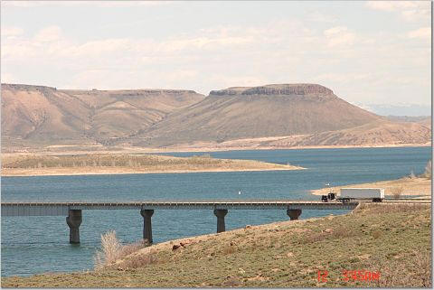
After Florissant we were heading toward the Black Canyon of the Gunnison.
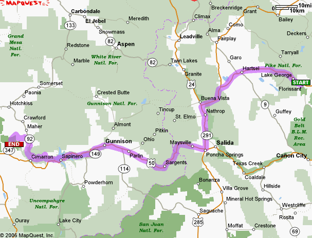
We stopped at Gunnison for lunch and after that the area become very beautiful.
Soon we arrived to the Black canyon of the Gunnison.
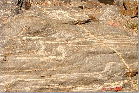
"The Black Canyon of the Gunnison is one of the most striking canyons in the world. It is extremely deep and tight. Depth varies from about 1,730 to 2,420 feet, some places it is only 1,300 feet from north to south rim. It was formed by the erosive action of the Gunnison River cutting into the Precambrian rocks. A tectonic event called the "Mid Tertiary uplift" had a major part in the canyon's creation. This widespread uplift which affected the whole Rocky Mt. region and happened about 28 million years ago, and become even more accelerated about 10 million years ago. During this tectonic activity, instead of major upward movement by individual blocks, the whole Colorado region gained about 5000 feet in elevation. This resulted in regional stream down-cutting and erosion. The Mid Tertiary Uplift event was accompanied by volcanic activity also. The Gunnison River had its course altered by lava flows and ash falls to its north in the present-day West Elk Mts. area. As volcanic activity died out, the river had relatively soft volcanic rocks to erode away and to establish its course through. The last work of the vertical downcutting through the tough Precambrian rocks probably occurred over the last 2 million years. Glacial melt-offs during this period would not only furnish the water necessary to make the most of the erosive potential created by the regional uplift, but the rock debris to mechanically assist the process. Perhaps once the Gunnison had managed to cut down a little ways into the hard Precambrian rocks, it was entrenched by the resistant rocks and couldn't laterally change course. Vertical fractures in the Precambrian rocks might have influenced how things developed. The Precambrian rocks you see in the Canyon fall into two basic groups. The oldest is a strongly deformed gneiss unit, dated at around 1.7 to 1.8 billion years in age. The other major group is igneous intrusive granite dated at about 1.4 billion years. "

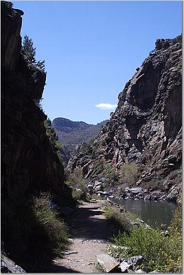
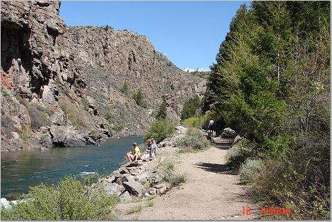
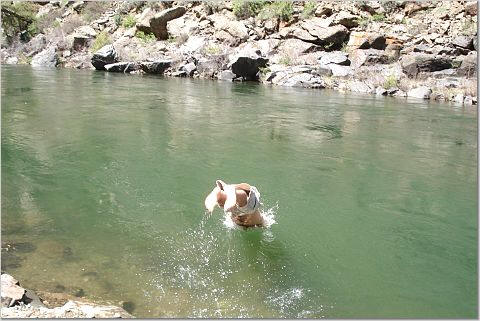
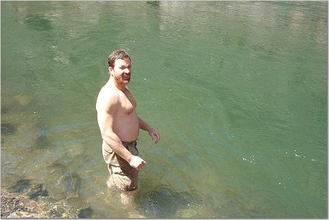
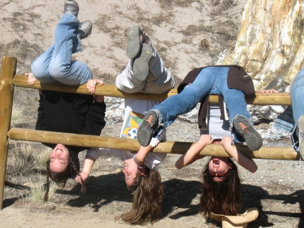
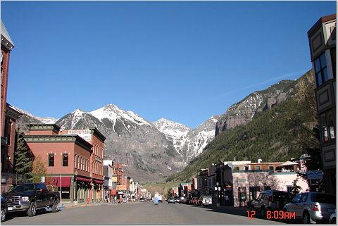
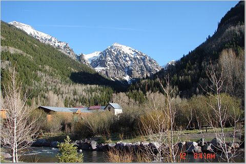
After our hike and some swimming (temperatere was about 55F)in the river of the Black canyon of the Gunnison we started our trip to Telluride. It is a very beautiful place with lots of geology and historic gold mines.
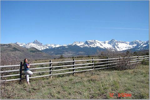
On the way to Telluride (14 thouseners in the fore ground)
"Telluride is the bridge from the frontier to the beginnings of the modern world. Nestled in a picturesque mountain valley and surrounded by cliffs and peaks sculpted to perfection, Telluride was the scene of many encounters that the mining frontier had with its own destiny. From its struggle to end its isolation and connect with the modern world to its mines' never-ending search for better ore-processing technology, Telluride was linked to the full bloom of the industrial revolution. Here the forces of capitalism and socialism clashed in turn-of-the-nineteenth-century labor disputes, while men wired up and harnessed the power of electricity to run not only the district's mines but also the town's street lights. And here, too, the goals of frontier precious-metal mining shifted in mid-twentieth century as the quest for base metals became a part of this country's struggle with several foreign powers.
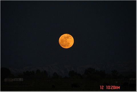
After Telluride we started our way toward the deserts of Utah. On the way we saw some incredible geology sites and an even more stunning moon rise.

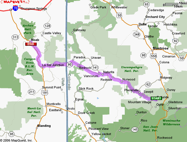
We arrived to Moab relatively late, and wanted to go to Arches for the sunrise so went to bed soon.
![]()
![]()