"The Grand Canyon area exposes one of the most
complete sequences of rocks, representing a period of
nearly 2 billion years. The major sedimentary rock
layers exposed in the park range in age from 200 million
to nearly 2 billion years old. Most were deposited in
warm, shallow seas and near ancient, long-gone sea
shores. Both marine and terrestrial sediments are
represented, including fossilized sand dunes. Uplift of
the region started about 75 million years ago in the
Laramide Orogeny. Accelerated uplift started 17 million
years ago when the Colorado Plateau (on which the area
is located) were being formed. In total these layers
were uplifted an estimated 10,000 feet (3000 m) which
enabled the ancestral Colorado River to cut its channel
into the four plateaus that constitute this area. The
canyon itself however did not start to form until 5.3
million years ago when the Gulf of California opened up
and thus lowered the river's base level (its lowest
point) from that of large inland lakes to sea level.
Wetter climates brought upon by ice ages starting 2
million years ago greatly increased excavation of the
Grand Canyon, which was nearly as deep as it is now by
1.2 million years ago. Also about 2 million years ago
volcanic activity started to deposit ash and lava over
the area. At least 13 large lava flows dammed the
Colorado River, forming huge lakes that were up to 2000
feet (600 m) deep and 100 miles (160 km) long. The
nearly 40 identified rock layers and 14 major
unconformities (gaps in the geologic record) of the
Grand Canyon form one of the most studied sequences of
rocks in the world." http://en.wikipedia.org/wiki/Geology_of_the_Grand_Canyon_area
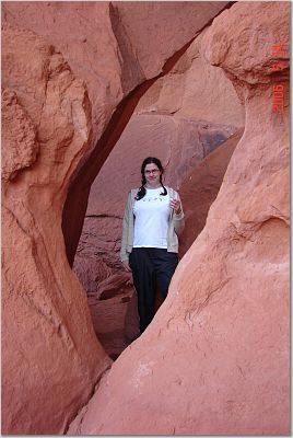
Ninth Day
May 15. 2006
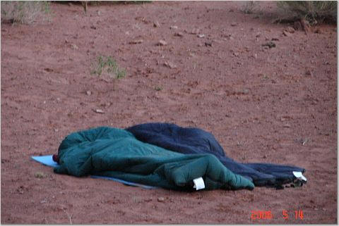
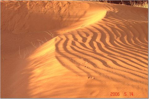
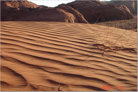
Tom woke us up at about 4:30 for the sunrise. It was absolutely beautiful. Dr. Anna and everybody went crazy with their cameras.
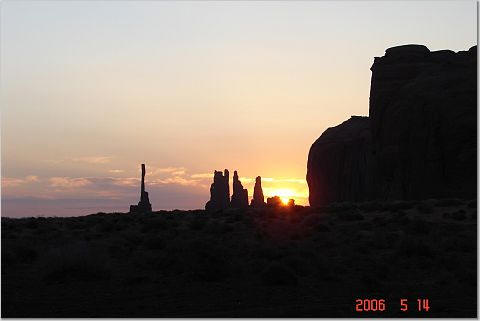
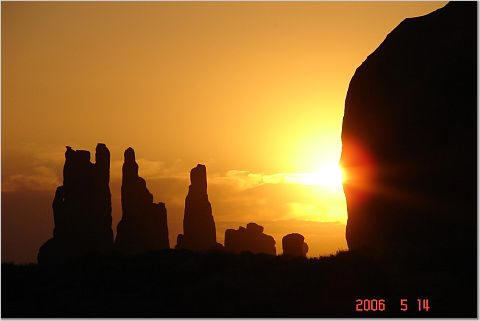
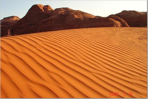
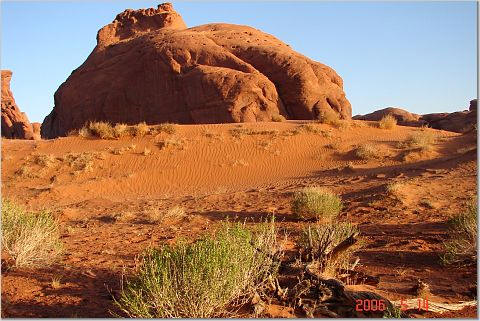
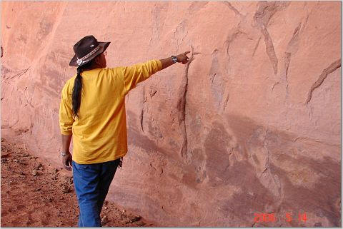
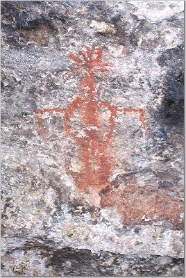
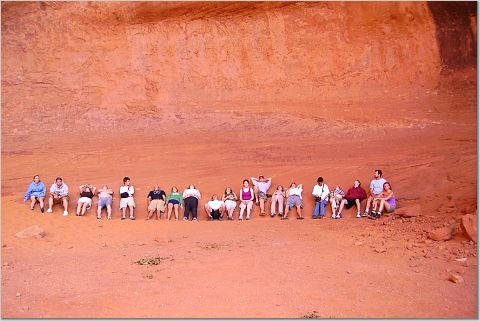
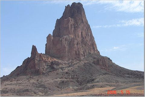
After breakfast Tom gave us a small tour on the history of the Monument Valley.
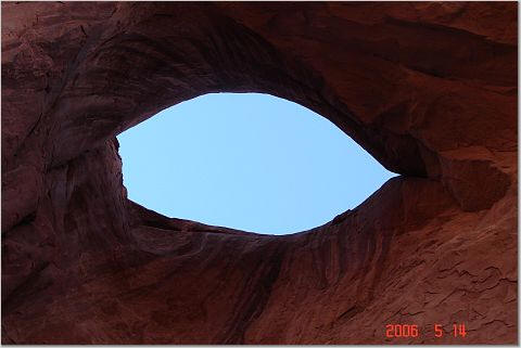
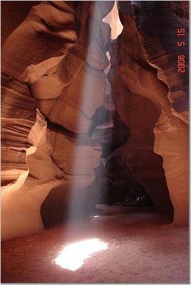
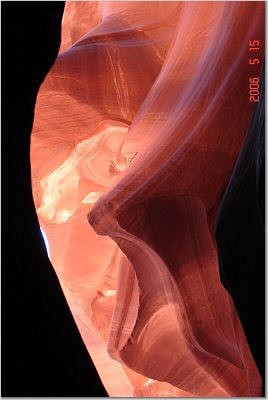
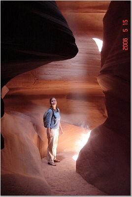
Than we were on our way to Antelope Canyon Arizona.
"Antelope Canyon is a so called Corkscrew Canyon is a slot canyon and was formed over many years as rushing water eroded the Navajo sandstone. The canyon was cut and scoured by water and wind and the striations of sandstone have become almost incandescent. This phenomenon has created "hollows" in the canyon and eventually they form a patina. A slot is a series of these convoluted hollows connected by narrow passages of varying width and length. The cave is only ¼ mile long and only a few feet wide at some of the narrow defiles and bends. The canyon is very dark except for the sunlight that filters down through the top plateau onto the curved sandstone walls." http://www.photoscene.com/sberlin/scenicinfo.html

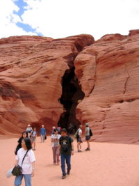
In Antelope, we had a couple of fights with the photographers, and took a little while to put in our complaints to the tribe peoples we started toward the Grand Canyon. It took us a bit longer to get there because of all the jewelry stops we had to do.
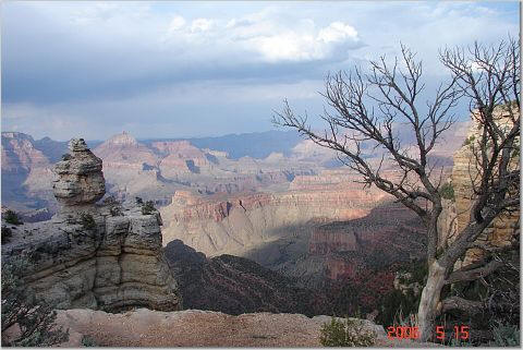
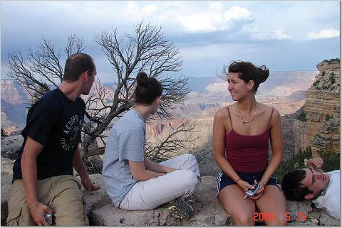
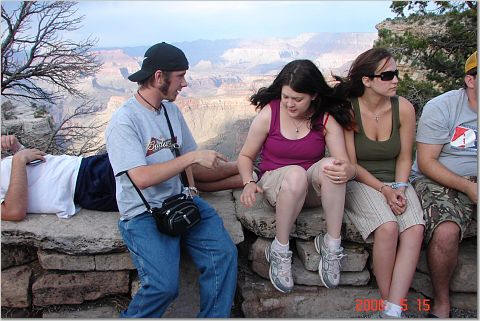
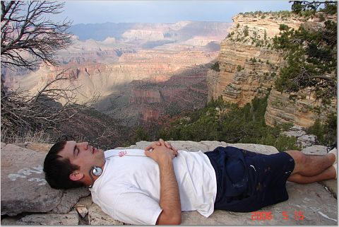
First sites of the Grand Canyon
![]()
![]()